Features LRIMS
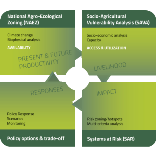
The Land Resources Information Management System (LRIMS) is an enabled geo-spatial system aimed to support policy options designing and land management planning.
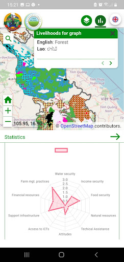
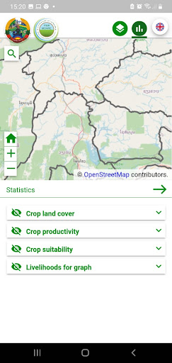
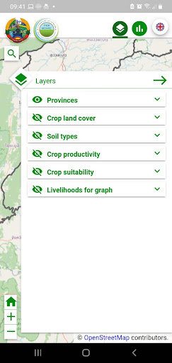
LRIMS contains data on agricultural land cover, land use, soil and livelihood of farmers.
In addition, it contains climate scenarios and crop scenarios for the present and for the future.
🌤️
Weather Features
Get accurate weather forecasts and real-time updates.
💬
24/7 Support
Our dedicated support team is always ready to help you.
Screenshots
See the LRIMS in Action
Get the App Today
Download on Google Play
Available for Android 8.0 and above